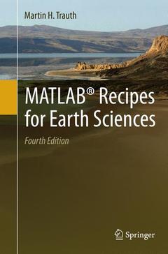
MATLAB® Recipes for Earth Sciences (4th Ed., Softcover reprint of the original 4th ed. 2015)
Auteur : Trauth Martin H.

MATLAB® is used for a wide range of applications in geosciences, such as image processing in remote sensing, the generation and processing of digital elevation models and the analysis of time series. This book introduces methods of data analysis in geosciences using MATLAB, such as basic statistics for univariate, bivariate and multivariate datasets, time-series analysis, signal processing, the analysis of spatial and directional data and image analysis. The revised and updated Fourth Edition includes sixteen new sections and most chapters have greatly been expanded so that they now include a step by step discussion of all methods before demonstrating the methods with MATLAB functions. New sections include: Array Manipulation; Control Flow; Creating Graphical User Interfaces; Hypothesis Testing; Kolmogorov-Smirnov Test; Mann-Whitney Test; Ansari-Bradley Test; Detecting Abrupt Transitions in Time Series; Exporting 3D Graphics to Create Interactive Documents; Importing, Processing andExporting LANDSAT Images; Importing and Georeferencing TERRA ASTER Images; Processing and Exporting EO-1 Hyperion Images; Image Enhancement; Correction and Rectification; Shape-Based Object Detection in Images; Discriminant Analysis; and Multiple Linear Regression. The text includes numerous examples demonstrating how MATLAB can be used on data sets from earth sciences. The book?s supplementary electronic material (available online through Springer Link) includes recipes that include all the MATLAB commands featured in the book and the example data.
Date de parution : 10-2016
Ouvrage de 427 p.
15.5x23.5 cm


