Remote Sensing Image Classification in R, 1st ed. 2019 Springer Geography Series
Langue : Anglais
Auteur : Kamusoko Courage
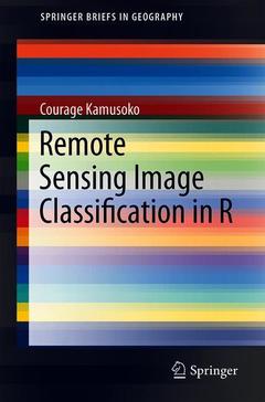
This book offers an introduction to remotely sensed image processing and classification in R using machine learning algorithms. It also provides a concise and practical reference tutorial, which equips readers to immediately start using the software platform and R packages for image processing and classification.
This book is divided into five chapters. Chapter 1 introduces remote sensing digital image processing in R, while chapter 2 covers pre-processing. Chapter 3 focuses on image transformation, and chapter 4 addresses image classification. Lastly, chapter 5 deals with improving image classification.
R is advantageous in that it is open source software, available free of charge and includes several useful features that are not available in commercial software packages. This book benefits all undergraduate and graduate students, researchers, university teachers and other remote- sensing practitioners interested in the practical implementation of remote sensing in R.Dedication.- Preface.- Acknowledgements.- Acronyms and Abbreviations.- Chapter 1. Remote sensing Digital Image Processing in R.- Chapter 2. Pre-processing.- Chapter 3. Image Transformation,etc.
Courage Kamusoko is a senior researcher at the Asia Air Survey, Japan. His expertise includes land use/cover change modeling, and the design and implementation of geospatial database management systems. His primary research interests are the analysis of remotely sensed images, land use/cover modeling, and machine learning. In addition to his focus on geospatial research and consultancy, he has also taught practical machine learning for geospatial analysis and modeling.
Is a one-stop reference book on remote sensing image processing and classification, machine learning and R Provides a desktop step-by-step reference tutorial, which helps readers to learn quickly Is based on the free and open source software R
Date de parution : 08-2019
Ouvrage de 189 p.
15.5x23.5 cm
Thèmes de Remote Sensing Image Classification in R :
© 2024 LAVOISIER S.A.S.