GIS Technology Applications in Environmental and Earth Sciences Environmental and Earth Sciences
Auteur : Tian Bai
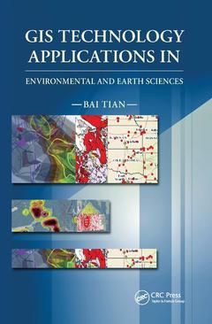
This book starts with an overview of GIS technology, what GIS technology is, what it can do, what software products are available, etc. Then, throughout the book, the author explains with many case studies, programs, maps, graphics, and 3D models how GIS and other related technologies can be used to automate mapping processes, collect, process, edit, store, manage, and share datasets, statistically analyze data, model, and visualize large datasets to understand patterns, trends, and relationships to make educated decisions. This book is an excellent resource for anyone who is interested in GIS and related technologies, geology, natural resource, and environmental science.
General Overview of GIS. Collecting Field Data More Efficiently with GIS AND GPS Technologies. Processing and Analyzing Data to Extract Useful and Meaningful Information. Mapping and Analyzing Geology Data with GIS. Data Modeling and Visualization. Sharing GIS Data and Maps through the Internet.
Bai Tian is an interdisciplinary expert of Geographic Information System (GIS), geology, environmental, and natural resource sciences, with 30 years of working and managing experience in these disciplines. In the past 18 years, he has been managing GIS departments which were involved in hundreds of environmental and geological projects, with thousands of project sites across the United States, its territories (Guam, Northern Mariana Islands, American Samoa, Saipan, Puerto Rico, and Virgin Islands), and other countries, such as Iraq, Libya, Kuwait, Saudi Arabia, Rwanda, Haiti, etc. He is one of the early pioneers who introduced GIS technology into geological and environmental fields. Since early 1990s, he has written many papers for numerous conferences and scientific journals
Date de parution : 12-2019
15.6x23.4 cm
Date de parution : 11-2016
15.6x23.4 cm
Thèmes de GIS Technology Applications in Environmental and Earth... :
Mots-clés :
GIS Data Layer; NASB; Intrusive Investigation; GIS Technology; Virgin Islands National Park; Voc Concentration; GIS Web Application; GIS Software Product; High Voc Concentration; GIS Website; Voc Plume; Trimble Gps; Free GIS; Direct Push Drilling; Mobile GIS; GNSS Data; Groundwater Elevation Contours; PR; Southwestern Arizona; Fence Diagrams; PLSS; Gps Position; MIP; Digital Geologic Map; GMS