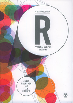
An Introduction to R for Spatial Analysis and Mapping
Auteurs : BRUNSDON Chris, COMBER Lex

R is a powerful open source computing tool that supports geographical analysis and mapping for the many geography and ‘non-geography’ students and researchers interested in spatial analysis and mapping. This book provides an introduction to the use of R for spatial statistical analysis, geocomputation and the analysis of geographical information for researchers collecting and using data with location attached, largely through increased GPS functionality. Brunsdon and Comber take readers from ‘zero to hero’ in spatial analysis and mapping through functions they have developed and compiled into R packages. This enables practical R applications in GIS, spatial analyses, spatial statistics, mapping, and web-scraping. Each chapter includes: Example data and commands for exploring it. Scripts and coding to exemplify specific functionality. Advice for developing greater understanding - through functions such as locator, View, and alternative coding to achieve the same ends. Self-contained exercises for students to work through. Embedded code within the descriptive text. This is a definitive 'how to' that takes students - of any discipline - from coding to actual applications and uses of R.
Date de parution : 01-2015
Ouvrage de 343 p.
17x24 cm
Disponible chez l'éditeur (délai d'approvisionnement : 15 jours).
Prix indicatif 40,64 €
Ajouter au panier


