Spatial Data Mining, 1st ed. 2015 Theory and Application
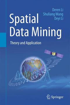
· This book is an updated version of a well-received book previously published in Chinese by Science Press of China (the first edition in 2006 and the second in 2013). It offers a systematic and practical overview of spatial data mining, which combines computer science and geo-spatial information science, allowing each field to profit from the knowledge and techniques of the other. To address the spatiotemporal specialties of spatial data, the authors introduce the key concepts and algorithms of the data field, cloud model, mining view, and Deren Li methods. The data field method captures the interactions between spatial objects by diffusing the data contribution from a universe of samples to a universe of population, thereby bridging the gap between the data model and the recognition model. The cloud model is a qualitative method that utilizes quantitative numerical characters to bridge the gap between pure data and linguistic concepts. The mining view method discriminates the different requirements by using scale, hierarchy, and granularity in order to uncover the anisotropy of spatial data mining. The Deren Li method performs data preprocessing to prepare it for further knowledge discovery by selecting a weight for iteration in order to clean the observed spatial data as much as possible. In addition to the essential algorithms and techniques, the book provides application examples of spatial data mining in geographic information science and remote sensing. The practical projects include spatiotemporal video data mining for protecting public security, serial image mining on nighttime lights for assessing the severity of the Syrian Crisis, and the applications in the government project ?the Belt and Road Initiatives?.
Shuliang Wang, PhD, a scientist in data science and software engineering, is a professor in Beijing Institute of Technology in China. His research interests include spatial data mining, and software engineering. For his innovatory study of spatial data mining, he was awarded the Fifth Annual InfoSci-Journals Excellence in Research Awards of IGI Global, IEEE Outstanding Contribution Award for Granular Computing, and one of China’s National Excellent Doctoral Thesis Prizes.
Deyi Li, PhD, a scientist in computer science and artificial intelligence, is the founder of cloud model. He is now a professor in Tsinghua University in China, a membership of Chinese Academy of Engineering and a membership of the Euro-Asia International Academy of Science. His research interes
Date de parution : 04-2016
Ouvrage de 308 p.
15.5x23.5 cm
Date de parution : 04-2018
Ouvrage de 308 p.
15.5x23.5 cm
Disponible chez l'éditeur (délai d'approvisionnement : 15 jours).
Prix indicatif 84,39 €
Ajouter au panier