Satellite and radar weather interpretation for pilots
Langue : Anglais
Auteur : LANKFORD Terry
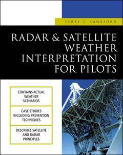
Satellite and radar are individually examined for their application to piloting and flight operations. The first part of the book looks at weather satellites : how they work, how pilots and aviation-associated persons can interpret and apply satellite images, ultimately to avoid flight hazards. Equal emphasis and explanation is given to the limitations of satellite imagery in flight applications. Weather radar fundamentals are outlined in the second part of the book : products and equipment, limitations and application in the flight environment. The book closes with section on risk evaluation and deicsion-making. Reference information and maps to plot radar locations, along with lists to decode location identifiers are provided.
Introduction Chapter 1: Introduction to Radar Chapter 2: Thunderstorm Avoidance Systems Chapter 3: Radar Weather Products Chapter 4: Introduction to Satellite Imagery Chapter 5: Geographical and Weather Features on Satellite Imagery Chapter 6: Satellite Interpretation and Application Chapter 7: Flight Planning Strategies Chapter 8: Evaluating Risk Appendix A: Weather Report and Forecast Contractions Appendix B: NWS Weather Radar Chart and Locations Appendix C: Weather Advisory Plotting Chart and Locations Appendix D: Geographical Area Designators Glossary Index
Date de parution : 07-2002
Ouvrage de 324 p.
19x23 cm
Thèmes de Satellite and radar weather interpretation for pilots :
© 2024 LAVOISIER S.A.S.